kvwmap - Open Source WebGIS: Unterschied zwischen den Versionen
Aus kvwmap
Rahn (Diskussion | Beiträge) |
Rahn (Diskussion | Beiträge) |
||
| Zeile 5: | Zeile 5: | ||
<div style="padding: 20px 0 0 0; display: flex; flex-wrap: wrap; cursor: default;"> | <div style="padding: 20px 0 0 0; display: flex; flex-wrap: wrap; cursor: default;"> | ||
<div style="height: 100%; margin-right: 20px; font-size: 3em; line-height: 100%; color: #3976aa">kvwmap</div> | <div style="height: 100%; margin-right: 20px; font-size: 3em; line-height: 100%; color: #3976aa">kvwmap</div> | ||
| − | <div style="height: 40px; margin: 14px 0 0 0; font-size: 1.5em; line-height: 100%;vertical-align: middle;">Ein Open Source WebGIS-Framework zur Erfassung, Verarbeitung, Analyse und Präsentation von raumbezogenen Informationen</div> | + | <div style="min-height: 40px; margin: 14px 0 0 0; font-size: 1.5em; line-height: 100%;vertical-align: middle;">Ein Open Source WebGIS-Framework zur Erfassung, Verarbeitung, Analyse und Präsentation von raumbezogenen Informationen</div> |
<div style="margin-left:120px;"> | <div style="margin-left:120px;"> | ||
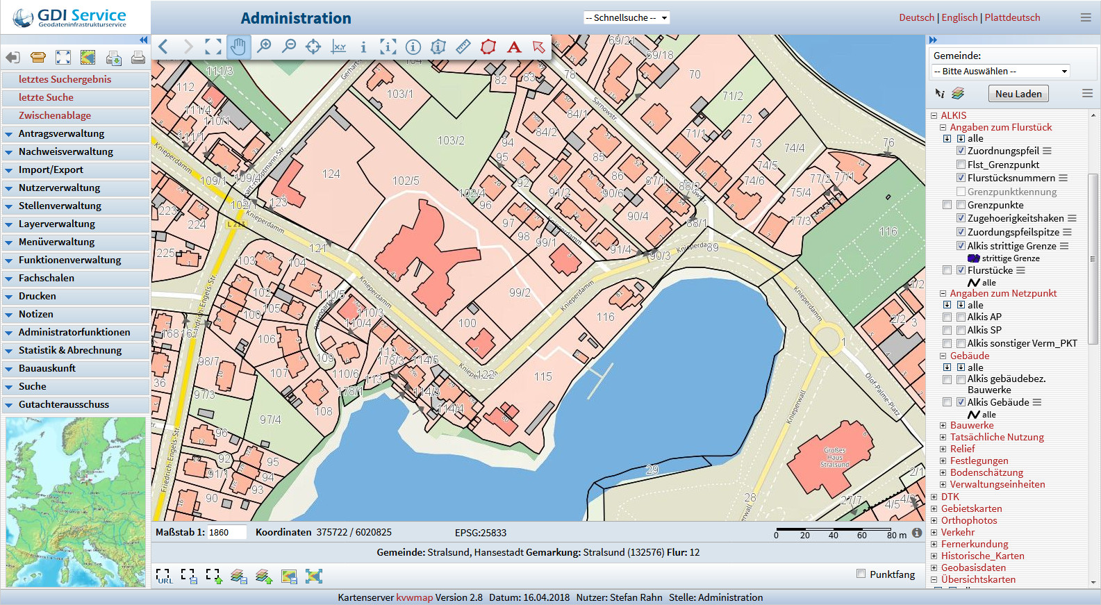
<div class="plainlinks" style="width: 227px; -moz-box-shadow: 16px 6px 14px #777;-webkit-box-shadow: 16px 6px 14px #777;box-shadow: 16px 10px 14px #777;">[https://demo.gdi-service.de/index.php?gast=1 https://kvwmap.de/Kvwmapdemo.png]</div> | <div class="plainlinks" style="width: 227px; -moz-box-shadow: 16px 6px 14px #777;-webkit-box-shadow: 16px 6px 14px #777;box-shadow: 16px 10px 14px #777;">[https://demo.gdi-service.de/index.php?gast=1 https://kvwmap.de/Kvwmapdemo.png]</div> | ||
Version vom 14. November 2022, 11:33 Uhr


