test-start: Unterschied zwischen den Versionen
Aus kvwmap
| Zeile 6: | Zeile 6: | ||
<div style="margin-bottom: 14px; font-size: 1.5em; line-height: 100%; text-align: center;">Ein Open Source WebGIS-Framework zur Erfassung, Verarbeitung, Analyse und Präsentation von raumbezogenen Informationen</div> | <div style="margin-bottom: 14px; font-size: 1.5em; line-height: 100%; text-align: center;">Ein Open Source WebGIS-Framework zur Erfassung, Verarbeitung, Analyse und Präsentation von raumbezogenen Informationen</div> | ||
</div> | </div> | ||
| − | <div style="padding: 1% 10%; display: flex; flex-direction: row; justify-content: center; align-items: flex-end; gap: 5em;"> | + | <div style="padding: 1% 10%; display: flex; flex-wrap: wrap; flex-direction: row; justify-content: center; align-items: flex-end; gap: 5em;"> |
<div style="margin: 0; padding: 0.5em 1em; text-align: center; font-size: 1.1em; min-width: 105px; display: flex; flex-wrap: nowrap; flex-direction: column; border: 1px solid #ccc; box-shadow: rgba(149, 157, 165, 0.2) 0px 0px 24px;">[[Was_ist_kvwmap%3F|Mehr]]</div> | <div style="margin: 0; padding: 0.5em 1em; text-align: center; font-size: 1.1em; min-width: 105px; display: flex; flex-wrap: nowrap; flex-direction: column; border: 1px solid #ccc; box-shadow: rgba(149, 157, 165, 0.2) 0px 0px 24px;">[[Was_ist_kvwmap%3F|Mehr]]</div> | ||
<div style="margin: 0; padding: 0.5em 1em; text-align: center; font-size: 1.1em; min-width: 105px; display: flex; flex-wrap: nowrap; flex-direction: column; border: 1px solid #ccc; box-shadow: rgba(149, 157, 165, 0.2) 0px 0px 24px;">[https://demo.gdi-service.de/index.php?gast=1 Demo]</div> | <div style="margin: 0; padding: 0.5em 1em; text-align: center; font-size: 1.1em; min-width: 105px; display: flex; flex-wrap: nowrap; flex-direction: column; border: 1px solid #ccc; box-shadow: rgba(149, 157, 165, 0.2) 0px 0px 24px;">[https://demo.gdi-service.de/index.php?gast=1 Demo]</div> | ||
Version vom 15. Februar 2023, 09:33 Uhr
kvwmap
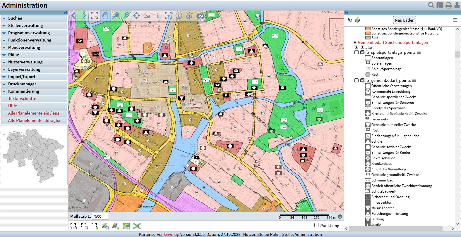
Ein Open Source WebGIS-Framework zur Erfassung, Verarbeitung, Analyse und Präsentation von raumbezogenen Informationen
PHP-Implementierung
OpenSource GIS-Komponenten: UMN-MapServer, PostgreSQL/PostGIS, OGC, OGR, ...
Leistungsfähige Nutzer- und Rollenverwaltung
Ausgereifte Fachschalen für die Präsentation von ALKIS-Daten
Generische Erzeugung von Fachschalen zur Präsentation und Bearbeitung eigener Daten
Plugin-Schnittstelle für eigene Fachschalen
